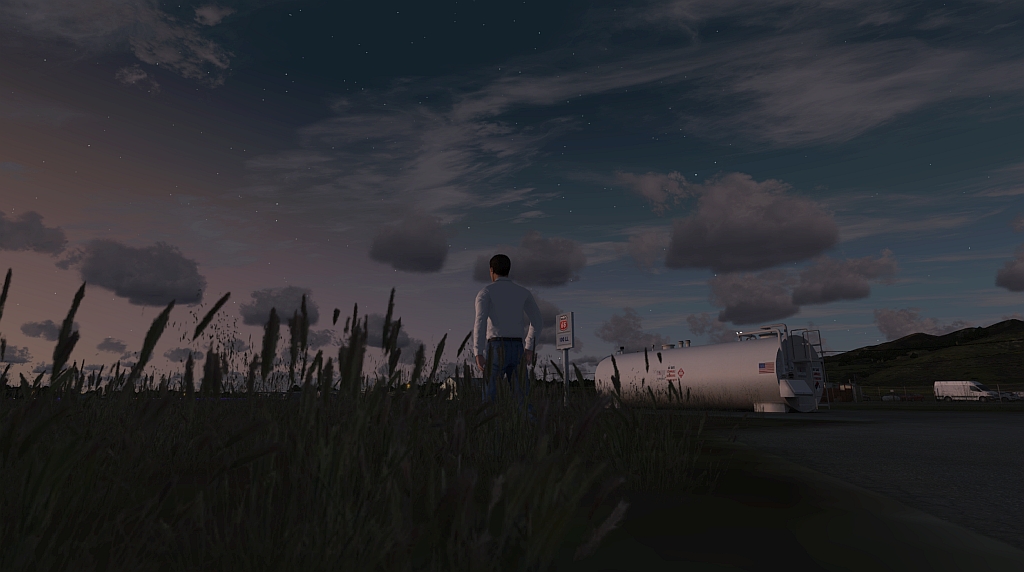
ORBX EU Netherlands TrueEarth – English Version

Since a few weeks now the Netherlands can also be explored in the ORBX world. All this in very high resolution and, if you believe the product advertising, in absolutely new technology for the flight simulator Lockheed Martin Prepar3D v4.x. However, it can be read that they are working on optimizing the scenery for the other well-known simulators (…we are currently working on optimizing the product for Microsoft Flight Simulator X and Lockheed Martin Prepar3D versions 1 to 3…).
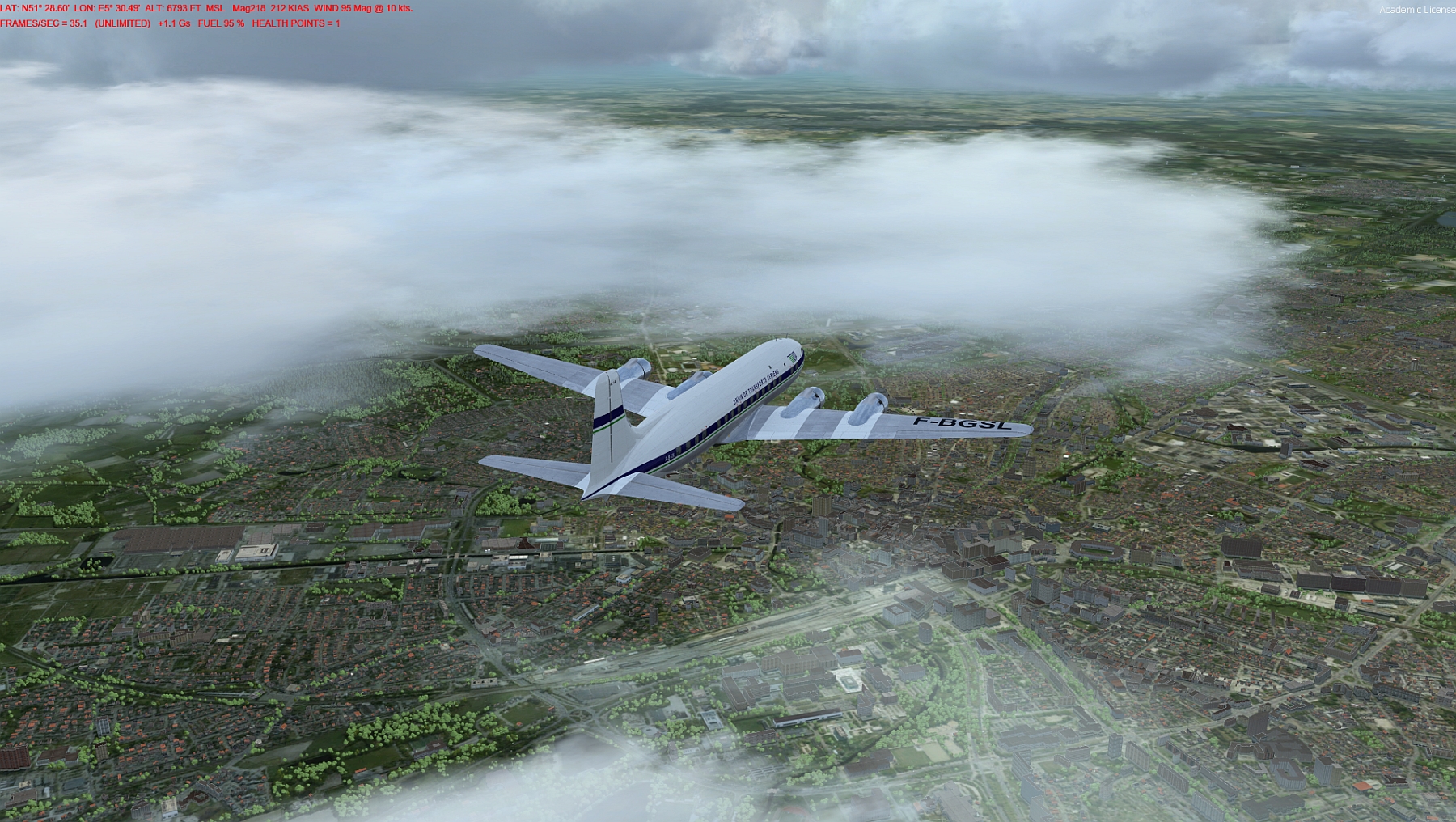
Netherlands, High

We, Klaus and Gunter, visited the virtual Netherlands together.
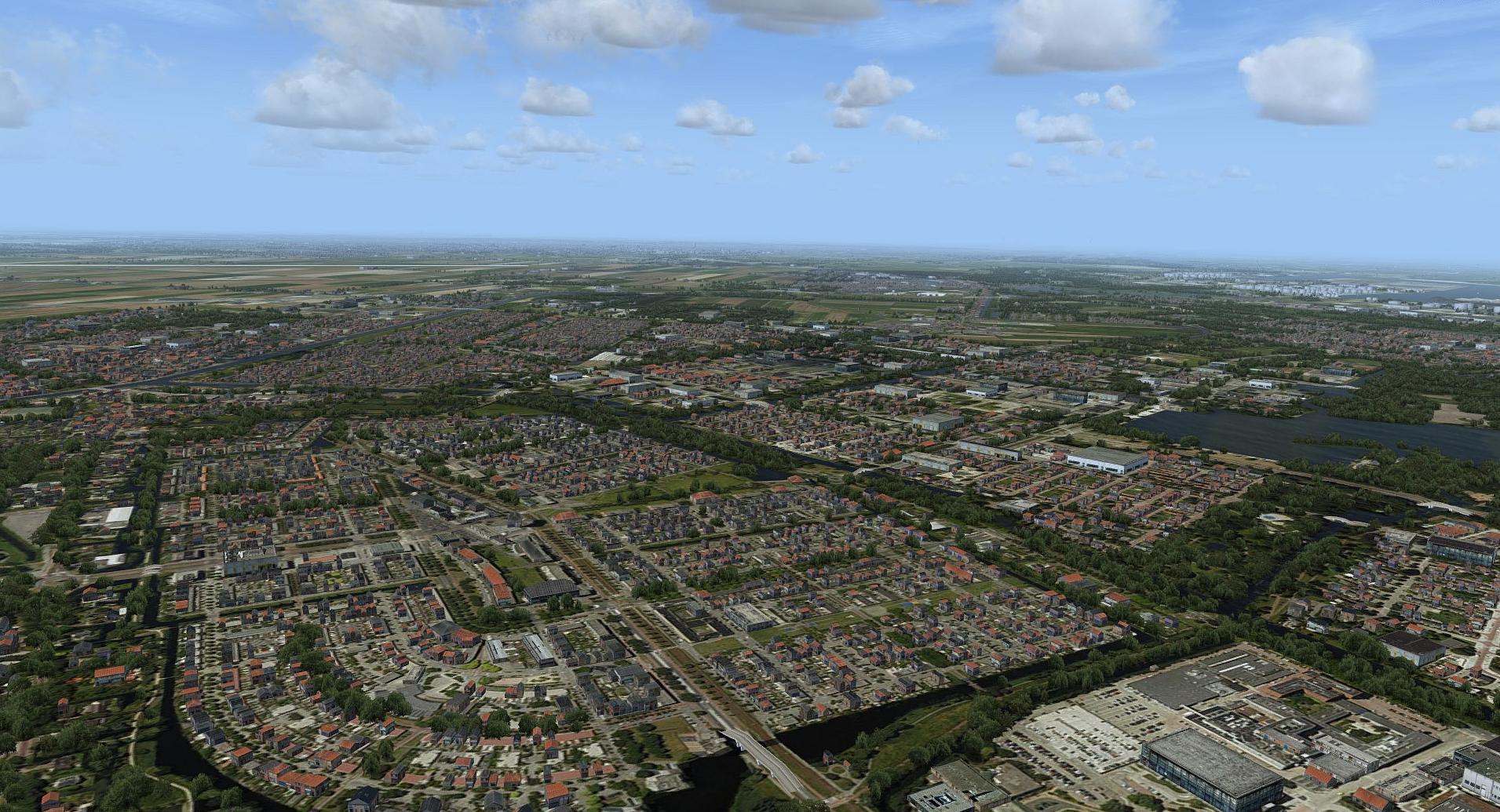
Amsterdam

Klaus: But before you can enjoy the beautiful Dutch countryside, you have to shovel the whole virtual terrain onto your local computer. That’s easier said than done. Almost 73 GB want to be downloaded and then the installation orgy begins. If you are not lucky and have an absolutely fast internet connection, you may need to be patient. The download takes time and you may need 3-4 days for it.
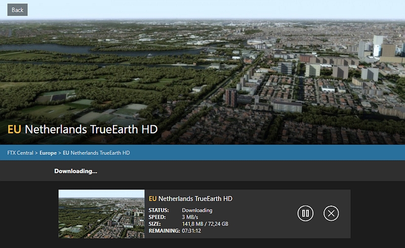
Download

A tip: It’s best to download it overnight and use a download manager that is able to resume aborted DLs.

If the file is then on the computer, it needs a storage (HDD, SSD or the like), which has enough free space for the installation. Since the Netherlands are relatively small, this seems to work just fine here, but I don’t want to do such installation arias more often.
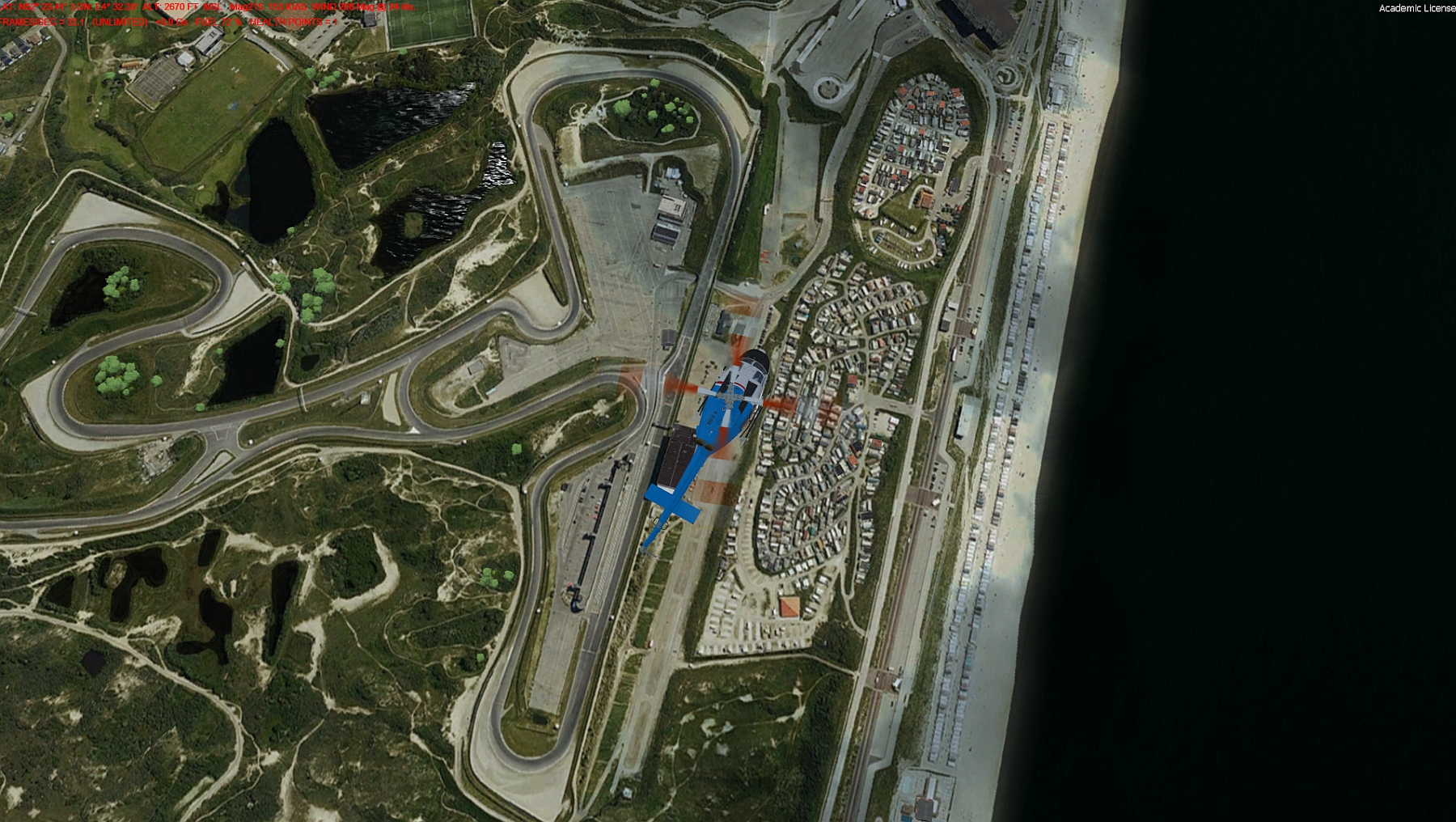
Zandford

But how did someone once say „the decisive factor is what comes out of it“ and in our opinion, this is quite respectable. But first things first.

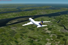
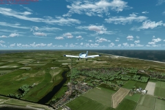
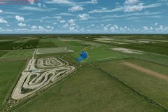
This „new“ TrueEarth HD technology, in which the scenery is created on the basis of orthophotos and enhanced by various autogen objects added and refined by hand, brings more reality into the simulator. But it is still a flight simulator and not a landscape simulator with planes, ships, and cars. Despite all the inconvenience during the installation, it was a lot of fun to explore the tulip fields, canals, islands, bridges, villages, and cities.

ORBX-FTX promises the following on its website:

  • The entirety of Netherlands depicted in complete detail!
  • 85,000km2 of photoreal terrain
  • Complete seasonal variation: 5 hand-colored seasons!
  • Full 3D night lighting and night ground textures
  • 43 updated airports, including 18 not found in the default scenery.
  • CityScene building technology for all major cities, towns and urban areas.
  • Incredibly dense autogen vegetation
  • Custom-painted rural variations, including tulip fields during spring
  • Ultra HD mesh at 5m resolution
  • Accurate road, waterway, bridges and transmission lines
  • Beautiful custom-building textures for all autogen buildings
  • Hundreds of custom landmarks and POI
  • Traditional Dutch windmills
  • Major churches and cathedrals custom modeled
  • Custom models for all major TV and radio masts
  • Many major bridges custom designed
  • Custom ship models unique to the Netherlands
  • Thousands of hand-placed wind turbines, refineries, harbors and other library objects
  • Hand-edited and colourized water textures, including complete watermasking
  • Fully compatible with neighboring regions (GES, GEN), ORBX Global and OpenLC Europe
 

This is adhered to as much as possible but depends very much on your PC settings. It should be a bit more powerful in terms of Video Card, CPU, memory and storage medium. Then, of course, it depends on the individual settings and also what other programs or addons are running on your computer. Weather program, AI traffic and HiTech airplanes, and additionally one or the other additional airport scenery could bring your PC to its limits. In my opinion, the good impression is only created when autogen and vegetation are set to at least „dense“. 

Here you have to do some testing to find the right settings for yourself. A comprehensive control panel helps to coordinate the individual settings.
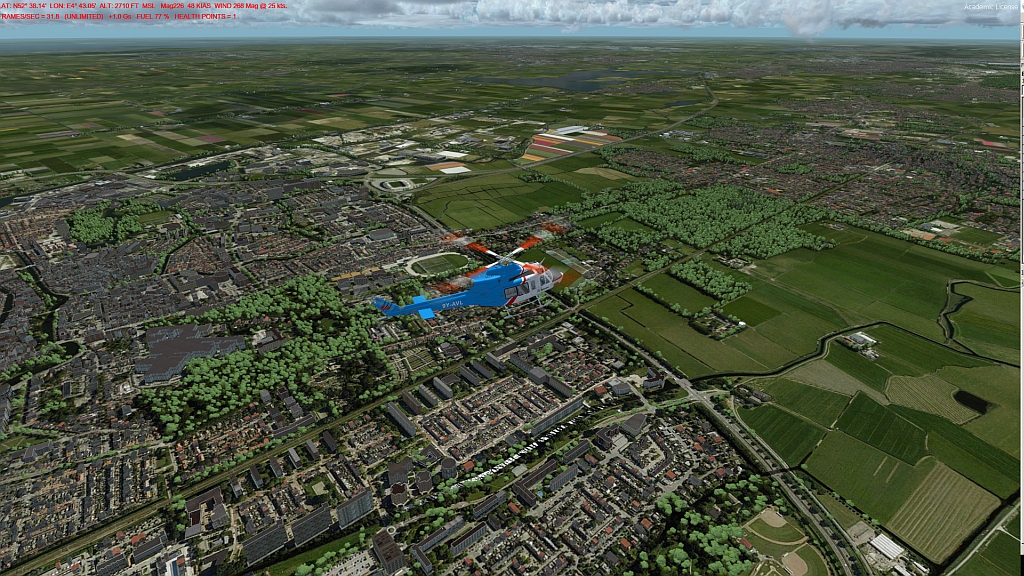
Tulpenfelder

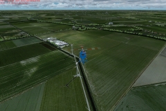
I noticed that the urban areas, in particular, fit more beautifully into the scenery. The otherwise always existing „hard and arbitrary edges“ are now much more harmoniously fitted, making the ground appear much more real when flying over it. But it is recognizable that if one flys below a certain altitude the ground textures become slightly blurred and washed-out. Also here and there bridges and roads are not fitted 100% accurately ( which would probably be a bit too much to ask for).
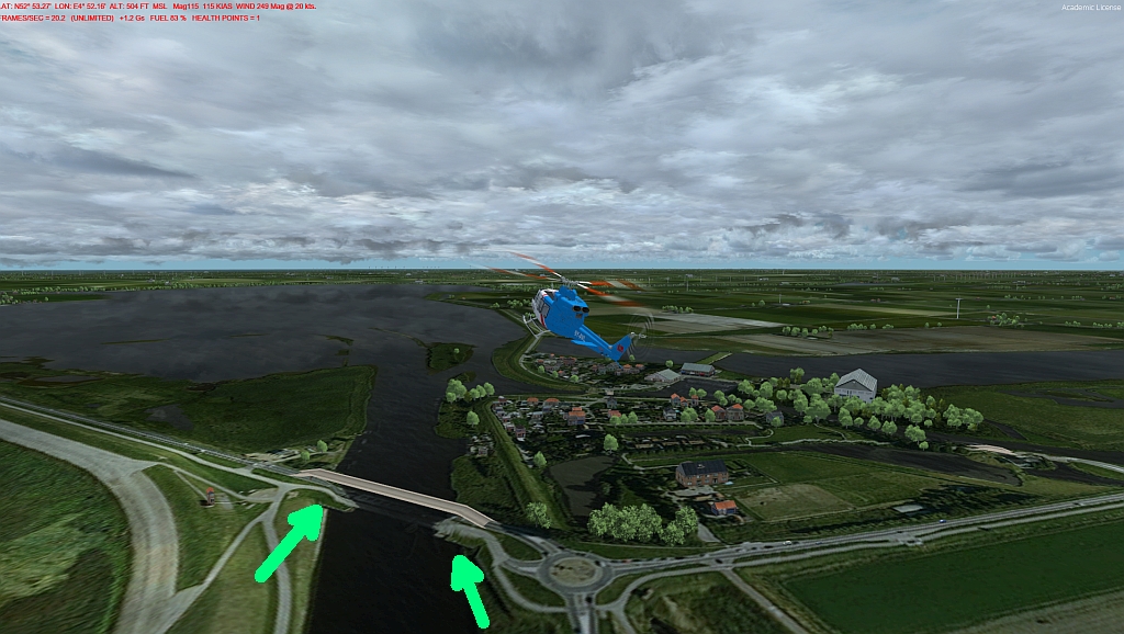
Bridge Error

Gunter: A lot has also happened in the countryside. I have just spent two weeks on holiday in the Netherlands and have now flown around some of the smaller places I have visited in the simulator.  Texel, for example, is very easy to recognize.
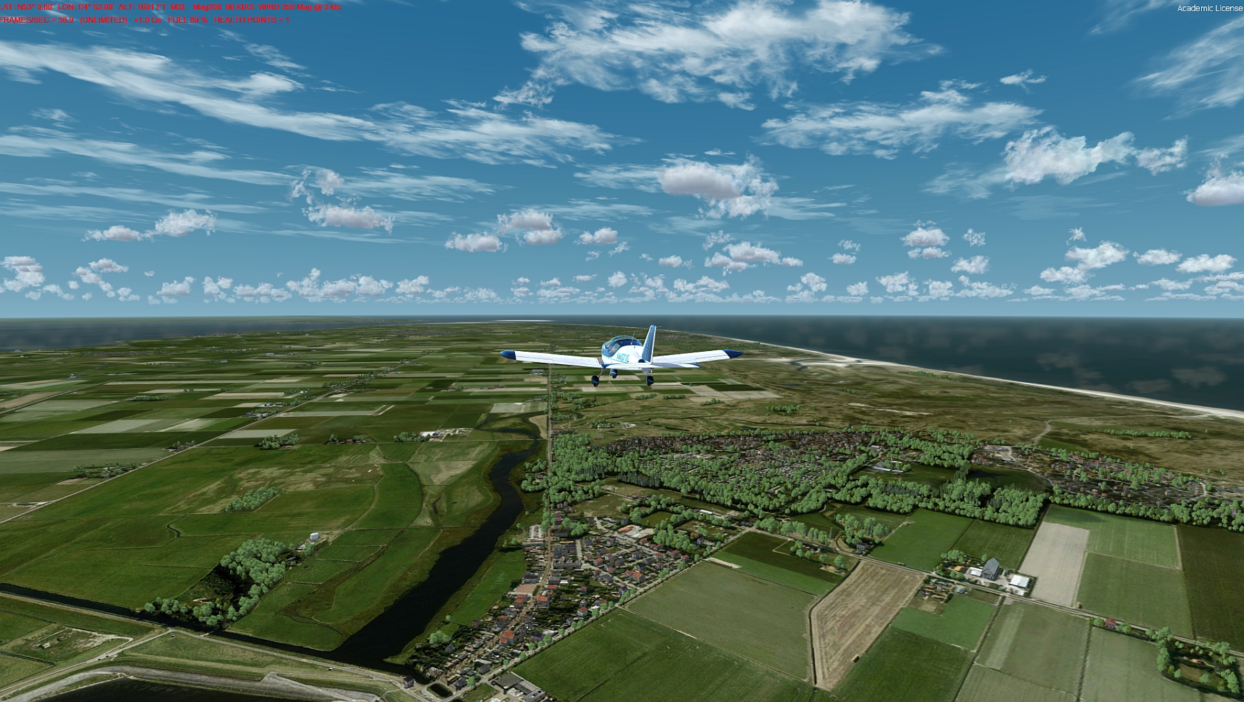
Texel

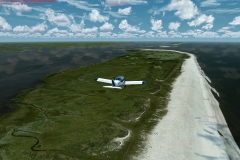
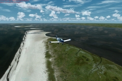
In general, the islands off the Dutch coast with their various fields, forests, and sandbanks are very well represented.
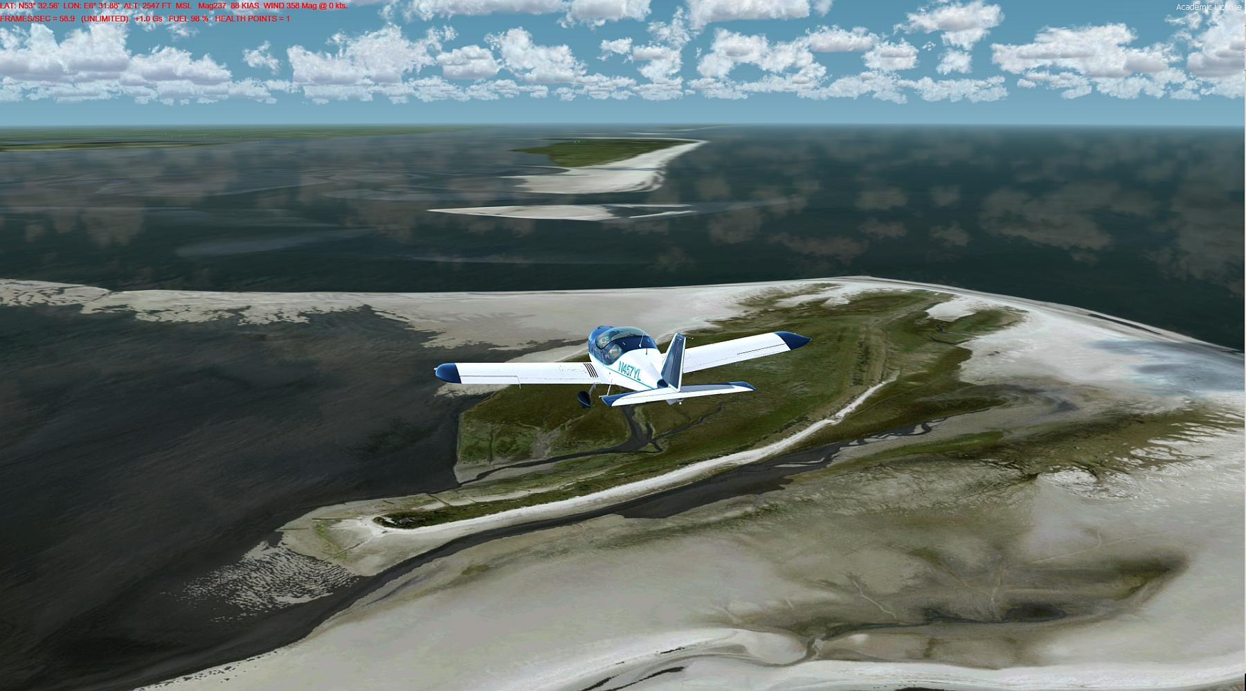
Westfriesische Inseln

Even the small villages fit well. What is strange, however, is that the sometimes very prominent churches along the Dutch coasts are missing. The same applies to the no less interesting lighthouses. So Den Helder with his harbor and the cityscape is very well made. The „Donkere Duinen“ landscape also fits perfectly. But the striking lighthouse is missing. But this is criticism on a very high level.
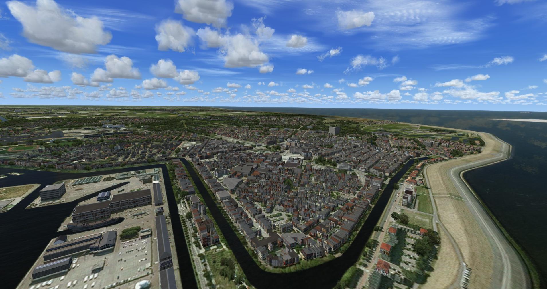
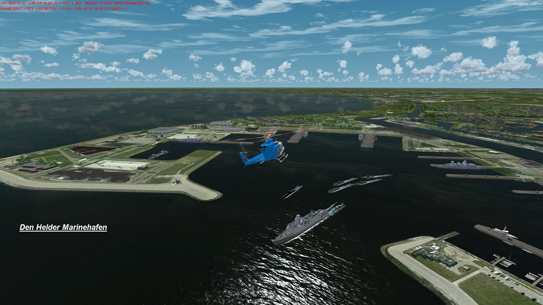
Den Helder Stadt
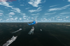
Den Helder Navy

The metropolitan areas around Amsterdam, Rotterdam and Den Haag are a real feast for the eyes! Here an enormous amount of autogen is shown. Of course, this takes a hit on the frame rate, but without AI and without any other airport addon on my computer, the Majestic Dash8 worked quite well.
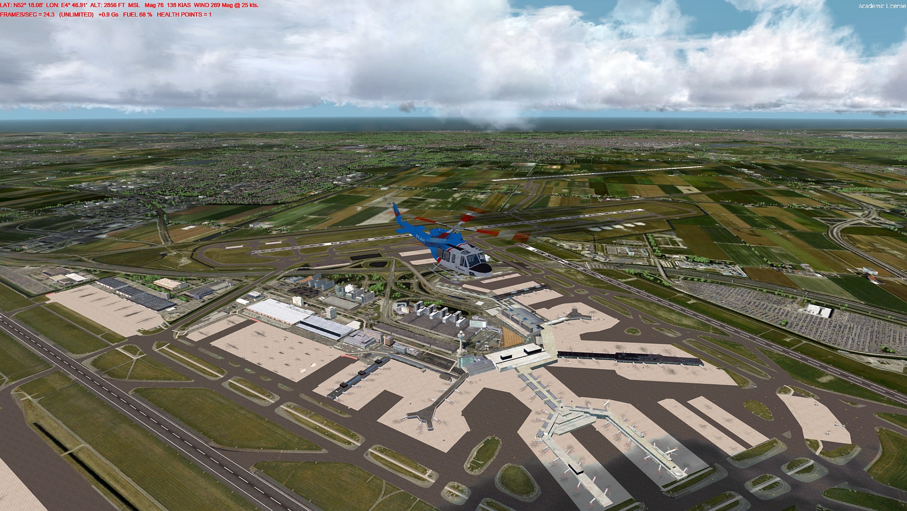
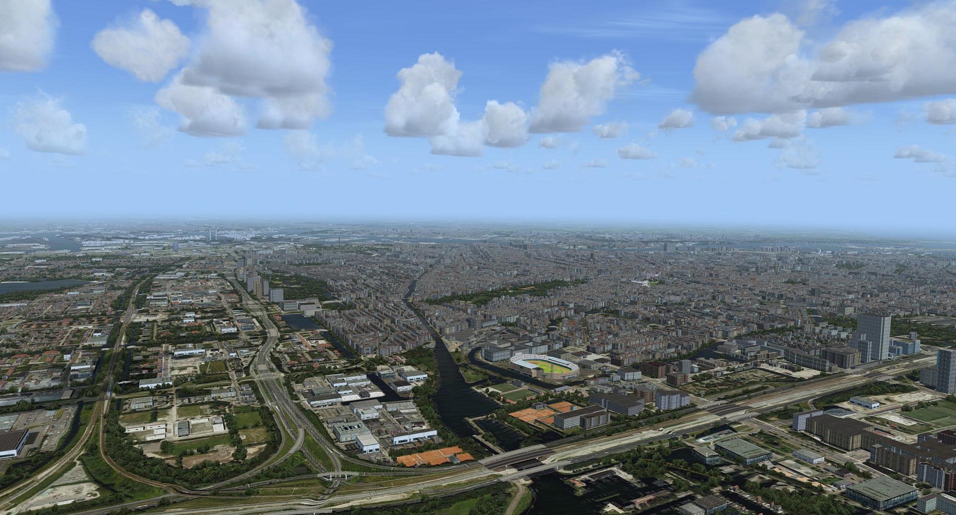
Amsterdam Schiphol (EHAM)
Amsterdam Downtown

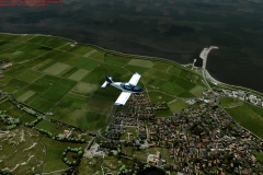
Further south, e.g. on Zealand, the landscape is well represented again. It is obvious that there are no individual houses in their right place. But I found all the places I visited like Domburg, Middelburg or Zierikzee where they should be. The environment also fits, including the condition of the beaches such as sand, grass or dunes. With Zierikzee, for example, the size and type of infrastructure are right, there is nothing to complain about here. Even the windmill at the harbor can be found.
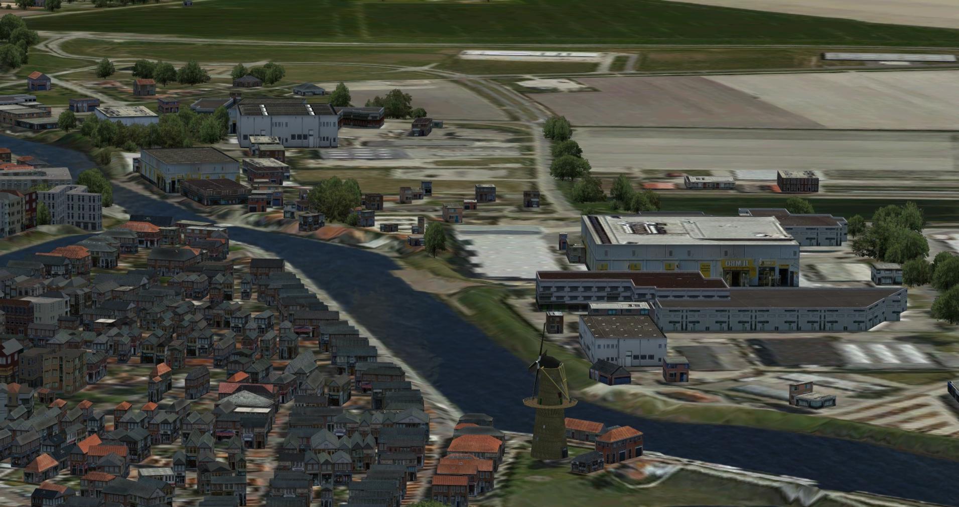
Zierikzee

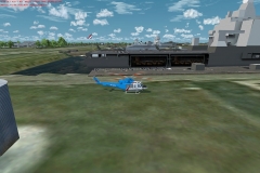
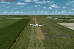
On the other hand, the church and several other distinctive landmarks such as the city gates are missing again. The Haemstede gliding field, on the other hand, is perfectly represented. By the way, there is actually a lot of activity here, mostly short sightseeing flights. The surroundings of the airfield are perfect, location and vegetation, as well as infrastructure, fit perfectly.

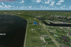
What would the Netherlands be without its dams and other buildings to protect the country from the North Sea. The Easter Scheldt Storm Surge Barrier is an impressive building, I rode my bike around there and it is easy to see in the simulator. All in all, I believe that you can easily navigate through the virtual Netherlands in the simulator with an appropriate map! 
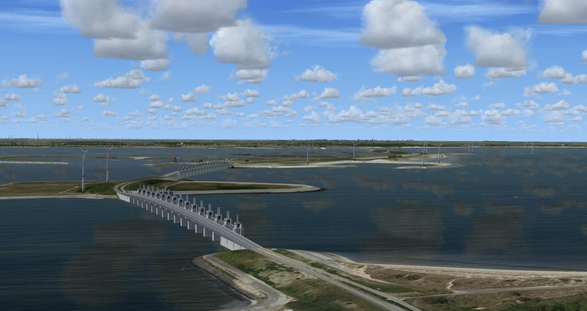
Schelde Sperrwerk

As usual with ORBX we also find excellent lighting, I like dusk and dawn especially well. Seasons are also taken into account, even if there is not much snow in the Netherlands.
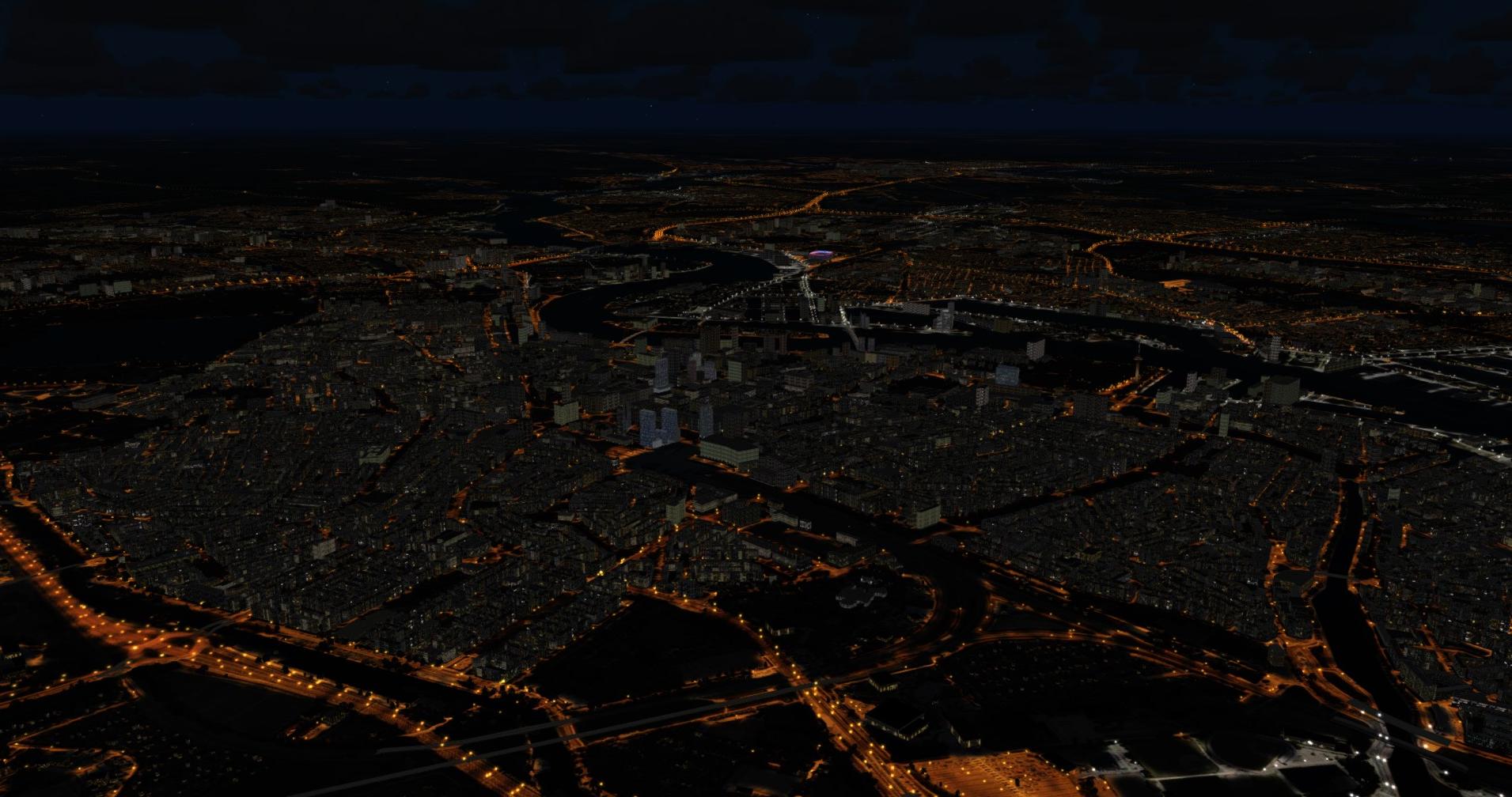
Rotterdam

Klaus: All in all, I really liked this addon, it’s fun to visit our western neighbors virtually. Be it with light aircraft, airliners or helicopters, I always had quite decent frame rates and that with quite high basic settings of the complete scenery (according to ORBX specifications). Of course, it depends on the computer equipment which should be at least in a medium power range. I  always used the weather of AktivSky/ASCA and also the airplanes were quite demanding. However, I don’t have any additional AI traffic turned on.
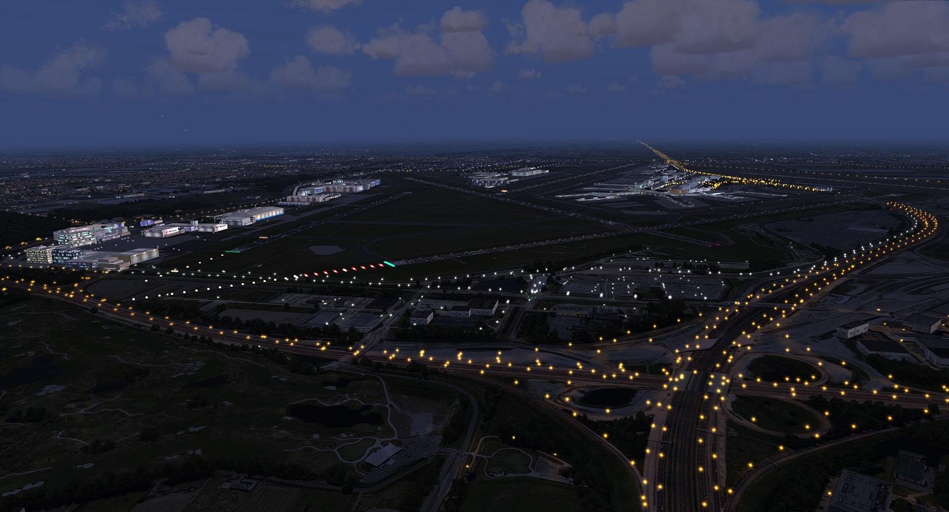
Schiphol (EHAM)

Gunter: In every way, the addon ORBX Netherlands True Earth HD can be described as extremely well done. It essentially keeps its promises and it’s a lot of fun to fly VFR in the Netherlands. 

However, I can’t imagine what download sizes will hit our hard drives when, for example, Germany or even Southern California are offered in this technology.

A big thank you to ORBX for the review copy!

For friendly Flusi: Klaus aka UBootwilli und Gunter aka Viking01.

Some more screenshots:

Review ORBX KHAF Half Moon Bay

Vor wenigen Tagen wurde der 1. Airport von ORBX im Jahr 2018 veröffentlicht. Half Moon Bay (KHAF) , oder Eddie Andreini Sr. Airfield wie er seit knapp 2 Jahren offiziell heißt.  Airfield ist wohl auch die richtige Bezeichnung für diesen Platz, den eigentlich nur eines auszeichnet: seine spektakuläre  Lage an der Pazifikküste im Norden Kaliforniens.

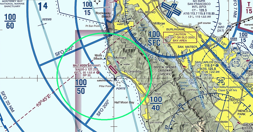
Map

Doch der Reihe nach. Mit ca. 250 MB gestaltet sich der Download für ORBX recht klein und angenehm und kostet umgerechnet knappe 22.- Euro. Das herunterladen und installieren mit Orbx-Direkt läuft gewohnt einfach und reibungslos. Alles was man benötigt ist in kurzer Zeit auf dem heimischen PC und ist für alle gängigen FSX und Nachfolge Simulatoren bis einschließlich P3dv4  zu bekommen. Voraussetzung um in den vollen Genuss des Addons zu kommen ist allerdings die „GrundszenerieNA California.

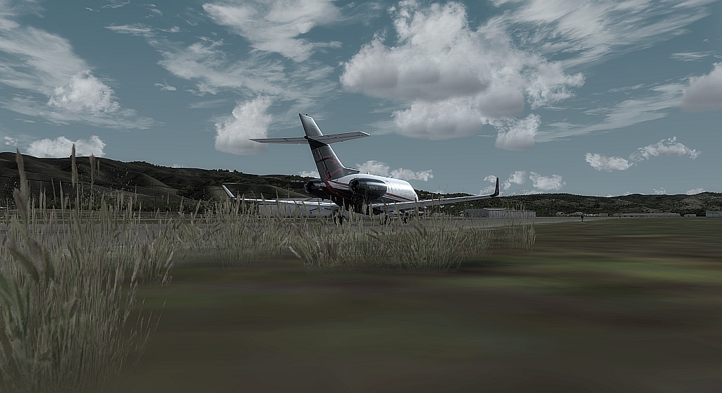
Vegetation am Taxiway

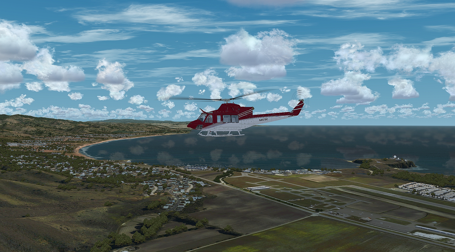
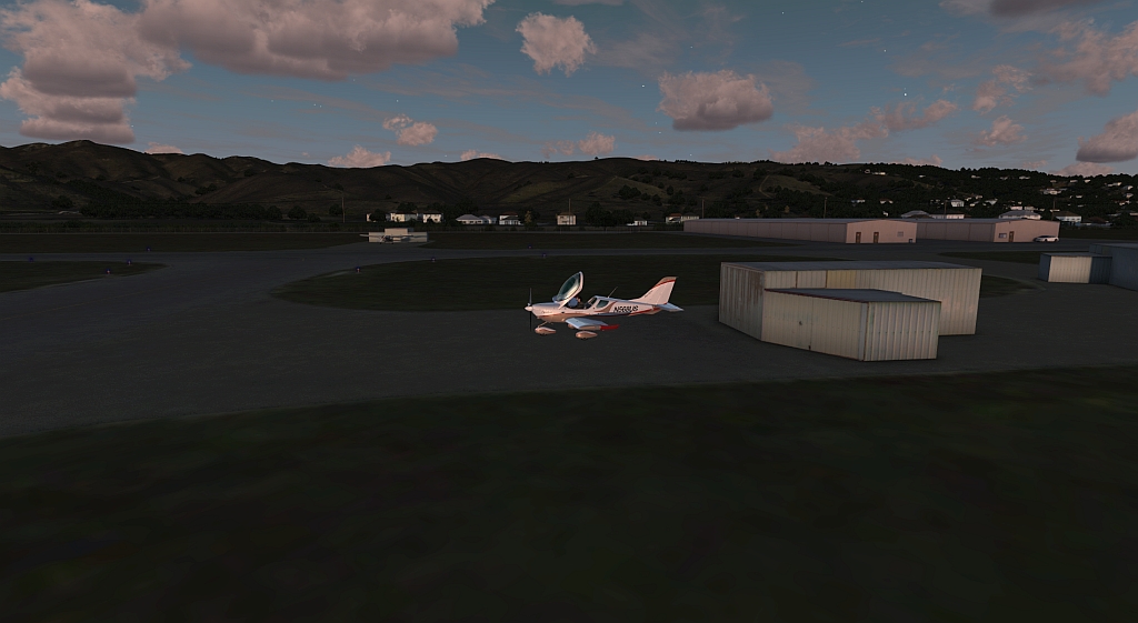
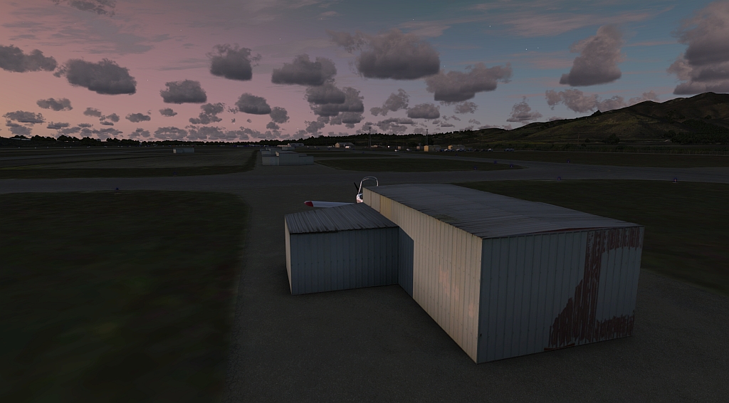
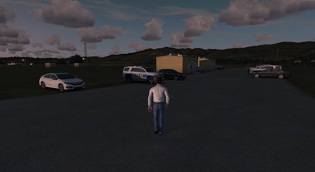
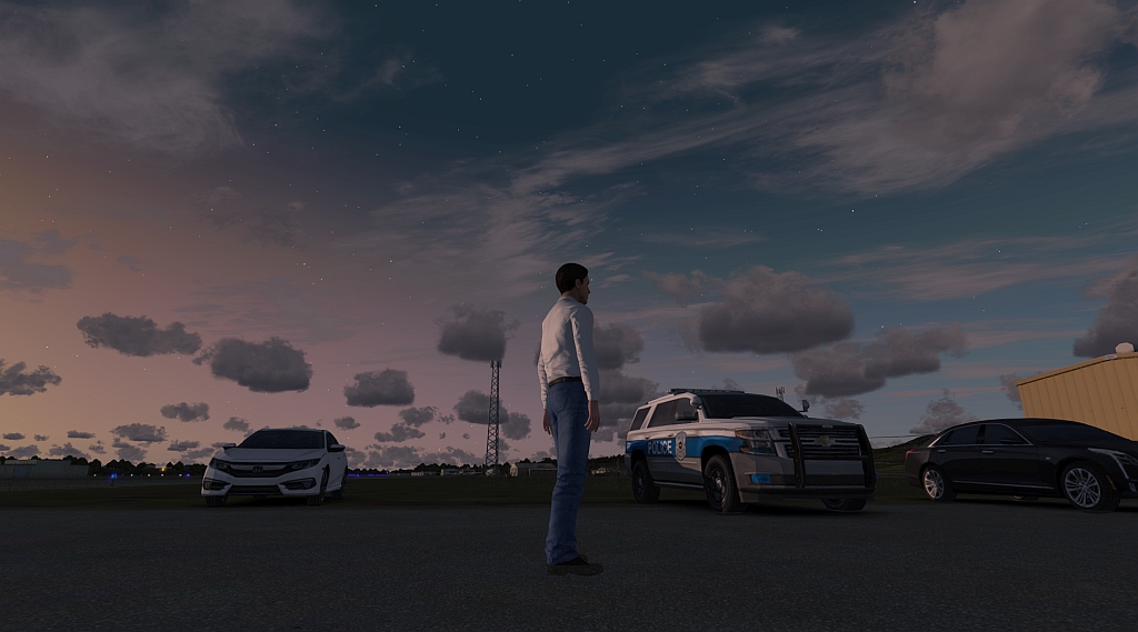
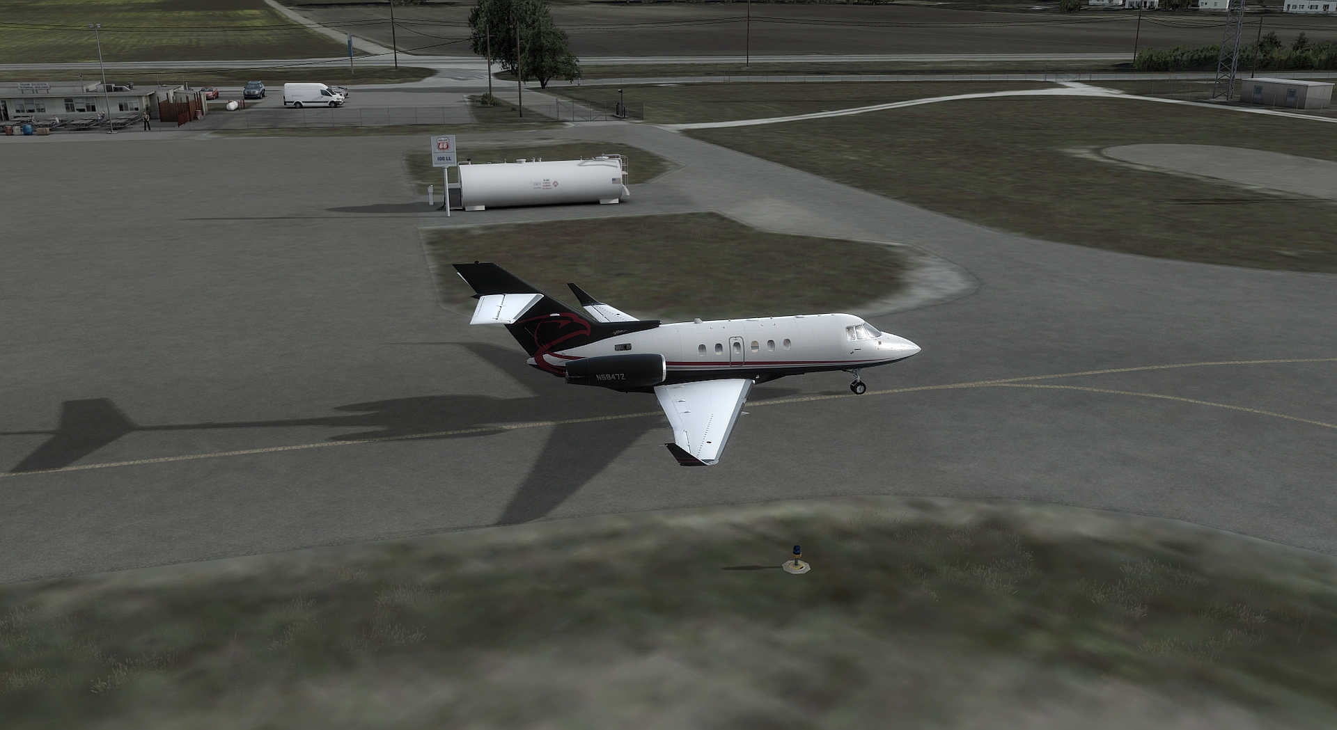
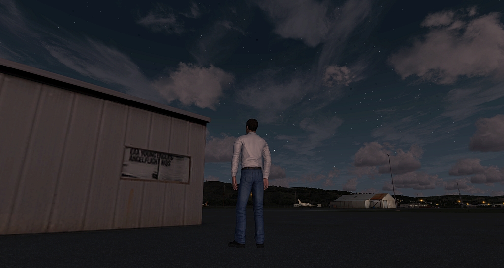
Geliefert wird das Airfield Half Moon Bay  und weitere ca. 100 km² fotoreales  30/60 cm Gelände. Auf dem Flugplatz selbst finden wir alles, was ORBX Szenerien auszeichnet und der Realität recht detailgetreu nachempfunden wurde. Allerdings hält sich das in sehr spärlichen Grenzen, denn KHAF ist nicht gerade mit architektonischen Highlights, oder gar üppig mit Gebäuden ausgestattet. Der Platz selbst ist recht karg , einige grössere und kleinere Flugzeug-Hangars, eine Polizei/Coast Guard Station, so wie die üblichen auf einem solch eher kleinen Platz vorzufindenden Dinge. Natürlich wird auch hier 3D-Beleuchtung eingesetzt und man findet die örtliche Vegetation vor.

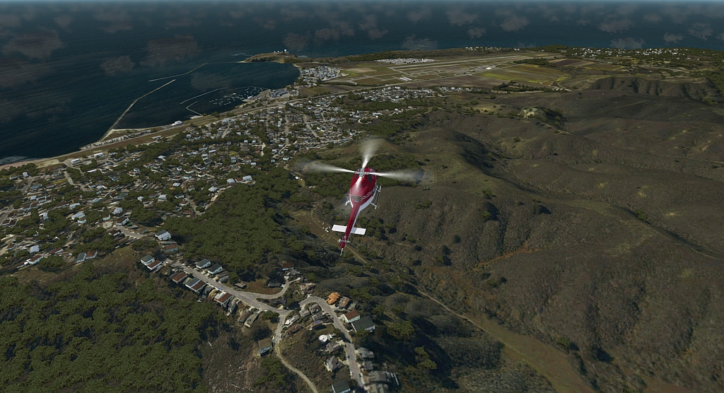
Überblick Südöstliche Richtung

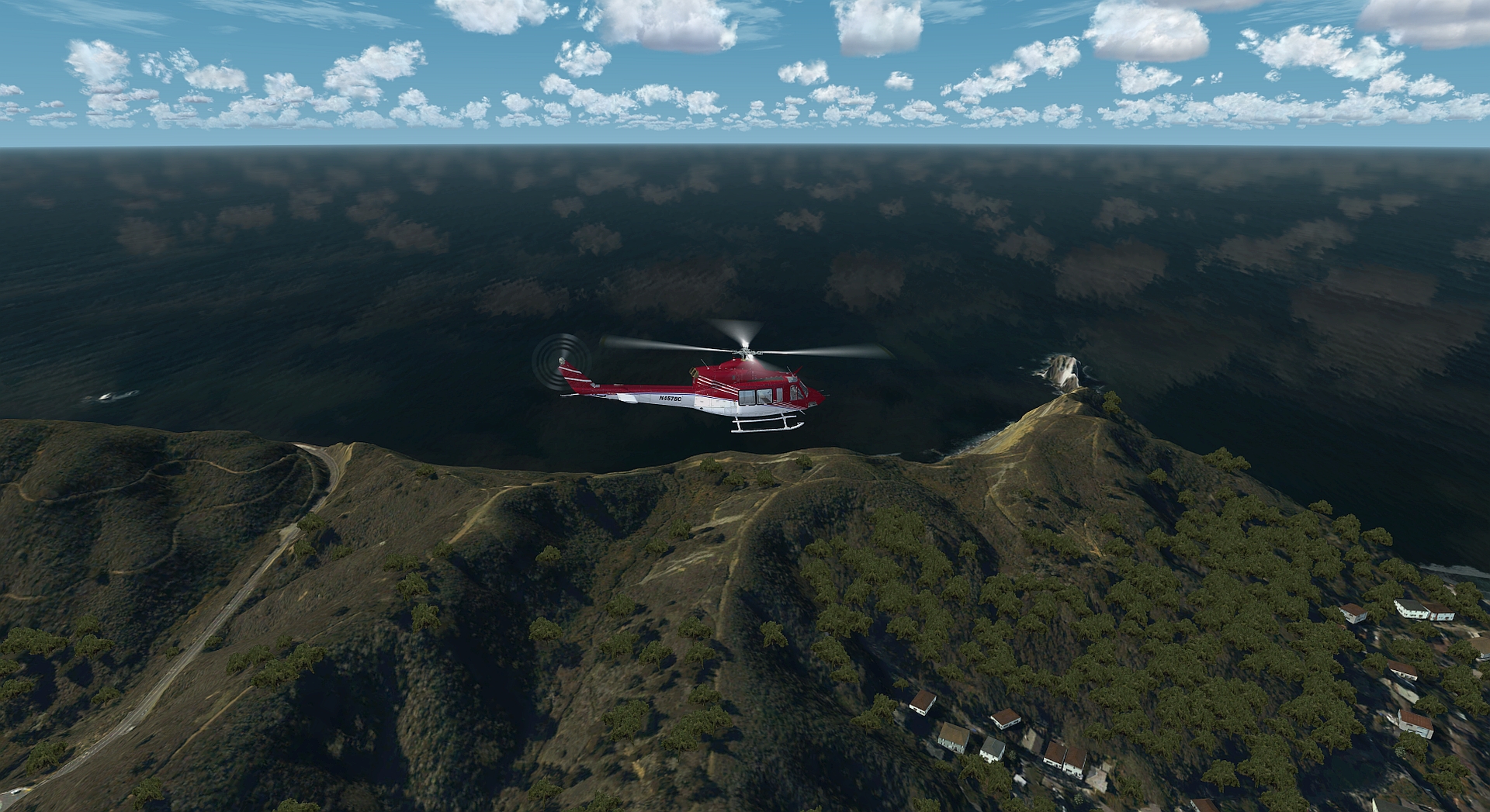
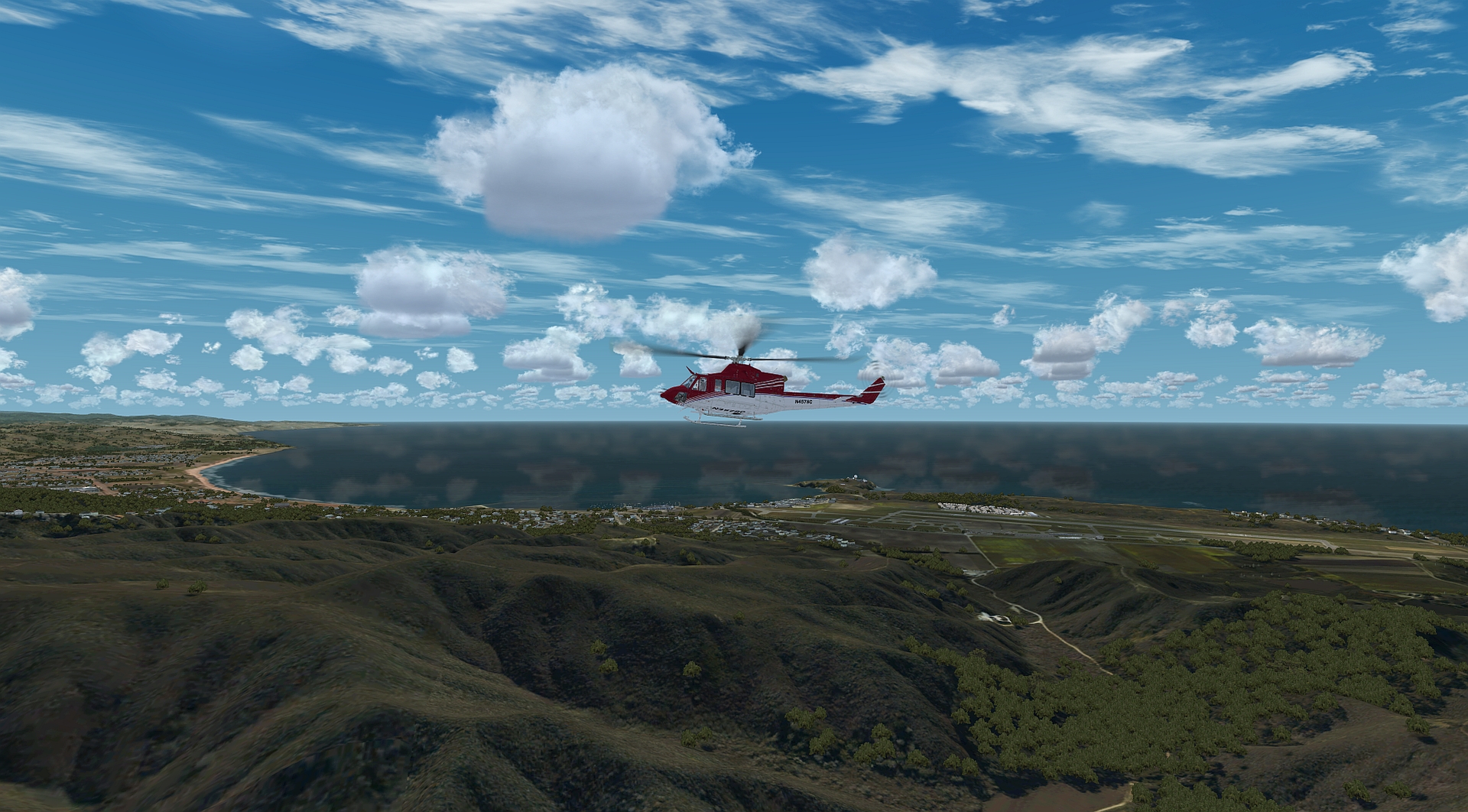
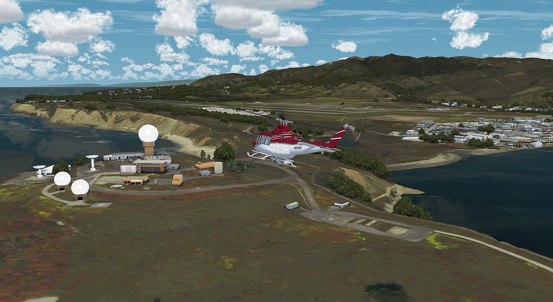
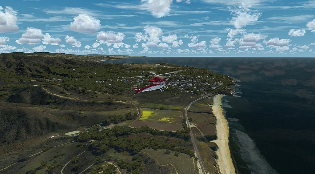
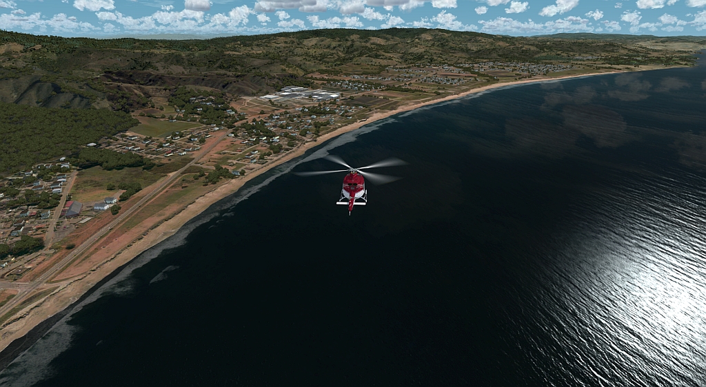
Schön gemacht sind die 3D Modelle der parkenden Autos und auch die Radarstation auf der südwestlich vorgelagerten Halbinsel ist sehr gut modelliert. Ansonsten lebt diese Szenerie von der sehr gut gemachten umgebenden „Gegend“ . Gerade die nochmals aufgebesserten Küstenverläufe haben mir sehr gut gefallen. Wetter bedingt sind diese jedoch häufiger nicht zu sehen, sehr oft gibt es hier sehr tief hängende Bewölkung bzw. Nebel und das macht den Flugplatz dann zu einer Herausforderung. Landehilfen gibt es nur wenige, auf  ILS hofft man vergebens.  Aber es gibt eine visuelle Neigungsanzeige in Form einer 2-Licht PAPI links (3,00° Grad Gleitweg) Anlage für beide Landerichtungen RWY 12/30 .

Dickblech ist hier gar nicht zu Hause (bis auf ein paar grössere Flieger der CoastGuard), die landen über’n Berg in z.b. in KFSO oder KOAK. So sieht man denn auch nur zahlreiche GAs, als statische geparkte Verzierung, was den Platz gut auflockert und den Eindruck von Betriebsamkeit vermittelt. Die Orbx-Flughäfen KSTS Sonoma County, KMRY Monterey und KSQL San Carlos sind alle recht nahe. Andere Plätze befinden sich ein bisschen weiter landeinwärts, wie KTVL und KBLU. In diese Reihe passt KHAF „Half Moon Bay“ ganz gut, da es umgebend genügend Start-oder Landemöglichkeiten in Feierabend-Flugdistanz gibt.


Mein Fazit zu dieser Szenerie :

Handwerklich reiht sich dieser Platz in die Reihe der gut gemachten ORBX Plätze ein.  Hier haben  Misha Cajic and Scott Armstrong das wohl bestmöglichste aus den Gegebenheiten herausgeholt. Ob dieser Flugplatz zu seinem persönlichen Airport Portfolio passt muss jeder für sich selbst entscheiden. Von der Lage her ein wirklich interessantes Airfield. Gerade für Feierabendflieger die einen kurzen Flug, mit nahe liegenden Zielen bevorzugen durchaus eine lohnenswerte Szenerie.

Zum Abschluss noch etwas  zur Geschichte des Platzes, die schon etwas weiter zurückliegt:

Das sagt und Wikipedia zum Airfield KHAF :

Der Flughafen wurde vom Staat Kalifornien 1942 für die US Army als Hilfslandeplatz für die Salinas Army Air Base gebaut. Dort wurden Piloten von Aufklärungsflugzeugen ausgebildet, die Flüge wurden von Half Moon Bay aus durchgeführt, um Salinas zu entlasten, bei den eingesetzten Flugzeugen handelte es sich um Leicht- und kleinere Jagdflugzeuge, die für Aufklärungsaufgaben umgebaut worden waren. Zudem wurden von den beiden Flughäfen aus Küstenpatrouillen durchgeführt.

Da auf dem Flughafen keine Flugzeuge der US-Streitkräfte dauerhaft stationiert waren, konnten Flugzeuge auf Ausbildungsflügen dort lediglich betankt werden, etwa für Reparaturen mussten die Flugzeuge an andere Stützpunkte gebracht werden. Die Unterstellung der Basis wechselte während des Krieges mehrmals zwischen diversen Kommandos. Am 1. Juni 1945 erteilte das War Department eine fünfjährige Betriebsgenehmigung für die United States Navy – Bezeichnung „Outlying Field, Half Moon Bay“ –, allerdings wurde der Flugplatz bereits 1947 vom San Mateo County erworben und zu einem zivilen Flughafen ausgebaut. Die laufenden Kosten werden allein über Landegebühren und freiwillige Beiträge der Nutzer finanziert, das County muss den Unterhalt nicht mitfinanzieren.[2]

Am 8. Dezember 2015 erhielt der Flughafen seinen aktuellen Namen: Eddie Andreini Sr. Airfield. Eddie Andreini hatte sich für die Fliegerei im San Mateo County eingesetzt und flog seit 1953 auf dem Flughafen, er starb 2014 bei einem Flugunfall auf der Travis Air Force Base in Fairfield. auf dem Flughafen findet jährlich das Event Pacific Coast Dream Machines statt, das im April auf dem Flughafen gastiert.

Ich hoffe ich konnte den Lesern einen kleinen Überblick über das geben was sie bei dieser Szenerie erwartet. Bestimmt habe ich nicht alles und jeden Grashalm einer eingehenden Betrachtung unterzogen und es gibt bestimmt Dinge die dem einen wichtig gewesen wären, während ein anderer gerne auf etwas verzichtet hätte. Nichts desto trotz hat es Spaß gemacht  und ich möchte es nicht versäumen mich im Namen von FriendlyFlusi für die Überlassung des Review Exemplares  bei ORBX zu bedanken.

Das Review verfasste für FriendlyFlusi   //    Klaus der Ubootwilli